The Dourdu stream under surveillance
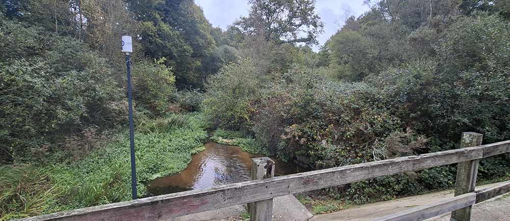
Unlike the water level of the Laïta River, which is monitored by state services via the station on Place Charles de Gaulle (accessible on the Vigicrues website), the Dourdu River was not a waterway under state surveillance. The need for action is highlighted by recent and significant events, such as the flood of December 7, 2023. The City has therefore requested a revision of the Natural Flood Risk Prevention Plan (PPRI).
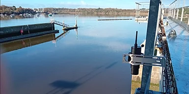
Architecture of the Surveillance System
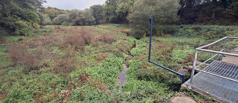
The Kerbertrand dam is associated with a retention basin with a volume of 47,000 m³. The concrete structure is 2.65 meters high.
Alert Threshold and Response Time
One of the major challenges is the extremely short response time: when a flood wave passes over the Kerbertrand dam, the water reaches the city an hour later.
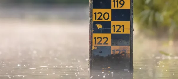
Alarm level: An initial alarm level has been set at 2.50 meters at the Kerbertrand dam, although this threshold is intended to be refined. The data collected continuously (water level, precipitation) will be used to improve prevention strategies. The city and the joint association plan to collect data over the coming months and events. This will make it possible, for example, to observe and model the dam’s drainage behavior, particularly in the event of consecutive episodes.
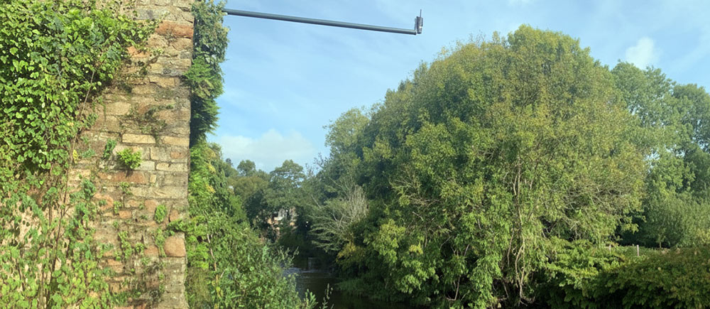
The system was installed by Ijinus, a company based in Mellac. The total investment for this equipment amounts to approximately €10,000. The bill was not doubled thanks to a price reduction granted by Ijinus as part of a partnership. Funding was provided by the French government, the Finistère Department, Quimperlé Community, and the City of Quimperlé.
The City’s technical services were involved in the installation. The evolution of the Dourdu is monitored by local officials, including the deputy mayor in charge of flood control, the union’s prevention coordinator, and the City’s major risks manager.
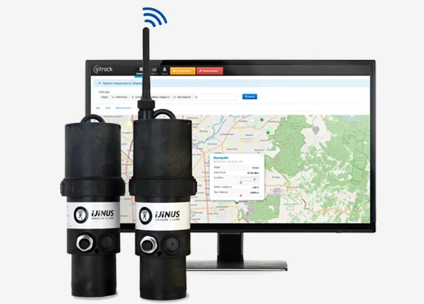
Our radar level sensors
Find our different LNR06V4 and LNR06V4-LE radar water level sensors here. They’re autonomous and communicate locally via radio and remotely via 2G/4G.

The interactive catalog “Water network monitoring solutions, all applications” is ONLINE !
Powered by the Ijinus, Fast, and Wayve brands, discover all of the group’s Connect division solutions for all water cycle applications.